Layered Geospatial Data Visualization SVG
Graphic representation of layered geospatial data with red markers on transparent sheets above a stylized map.


Edit Layered Geospatial Data Visualization SVG
Browse all SVG tools ›


Related Layered Geospatial Data Visualization SVG
-

Layered Abstract Design SVG -

Layered Squares Abstract SVG -

Layered Material Textures Abstract SVG -

Abstract Layered Squares Design SVG -

Layered Paper Artwork SVG -

Golden Frameon Blue Background SVG -

Earth Layers Illustration SVG -

Layered Molecular Structure3 D Model SVG -

Abstract Layered Squares Design SVG -

Layered Dimensions Interior Design Logo SVG -

True Layer Logo Design SVG -

Topographic_ Layers_ Stacked_ Visualization SVG -

Layered Materials Graphic SVG -

Geological Layers Illustration SVG -

Abstract Colorful Layered Background SVG -

Layered Safety Systems Infographic SVG -
Unleash your power with Mangekyo Sharingan SVG -
Unveiling a mesmerizing Mangekyou Sharingan in black SVG -

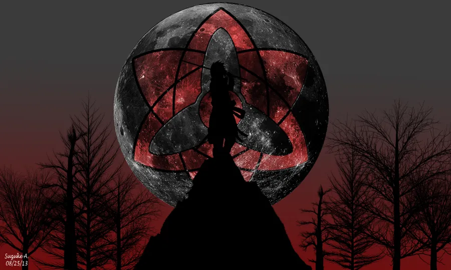
Find your power of the Sharingan in the depths of the forest SVG -
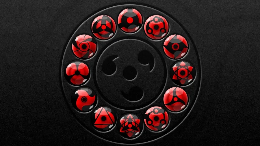
All Sharingan In Red Gray SVG -

Sharingan Silhouette Uchiha Itachi SVG -

Capturing The Power Of Sharingan SVG -

unlock the power of the Sharingan eye SVG -

Sasuke's Mangeyou Sharingan SVG -

"Show Off the Power of the Sharingan Logo!" SVG -
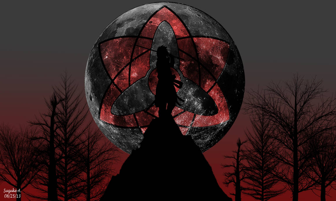
The Power of Sharingan Illuminating the Moon SVG -

"Powerful Combination of Sharingan and Obito Mask" SVG -

Obtain True Power Through the Sharingan SVG -

Obito's Mangekyou Sharingan Logo SVG -

A magnificent artwork of the Mangekyou Sharingan SVG -

Unlock the power of Sharingan with this young girl SVG -
Majestic Sharingan Logo SVG -

"The mystic power of the Sharingan and Rinnegan" SVG -

The Power of Itachi's Sharingan SVG -

"The Power of Sharingan - Itachi Uchiha" SVG -

"Unlock Your Potential With The Mangekyou Sharingan" SVG


📌 Boards
Build your own collection of svg
Boards are free personal collections of wallpapers, backgrounds, PNGs and SVGs. Keep them private or share with one click.


